/ˈsal.toʊ/ • The Gate to Thermal Paradise
Experience the warmth of nature and history in northern Uruguay.
Population
105K
Inhabitants
Land Area
14,163
km² (Department)
GDP Nominal
2.1B
USD
Global Rank
890
Global Index
Real-time local weather, live currency rates, and airport transit router.
Perfect time to explore the city! Enjoy walking around Salto and discover its local parks, architectural marvels, and scenic avenues.
~20-40 minutes • Around 1,042 - 1,667 UYU
Book via official ridesharing mobile applications where available to ensure fair rates!
~30-50 minutes • Around 125 - 333 UYU • Runs frequently
Direct route connects airport terminal to major central stations.
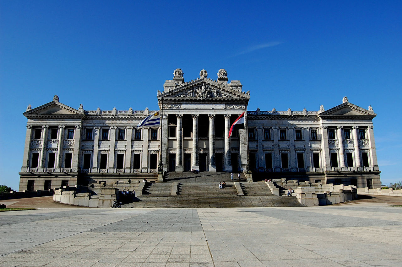
Salto is the second-largest city in Uruguay, famously perched on the banks of the Uruguay River.
River Front
Located on the Uruguay River, it serves as a gateway to the north.
Thermal Springs
Home to world-class thermal water resorts attracting health tourists.
Colonial Roots
A melting pot of cultures reflecting Uruguayan and Argentine influences.
Agri-Business
Driven by citrus production, hydroelectric power, and tourism.
Salto's history is deeply connected to the river and the development of the border region.
Originally established as a strategic military outpost by Spanish colonial forces.
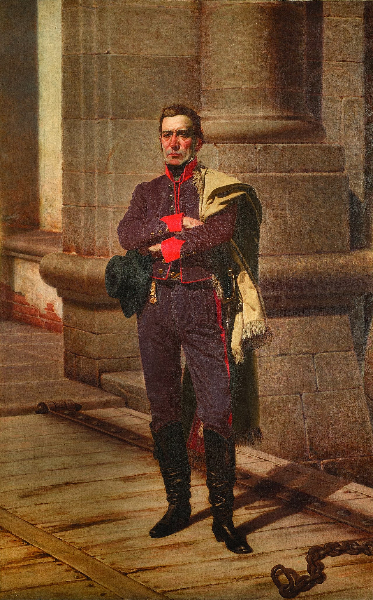
The city became a critical location during the Uruguayan revolution led by Artigas.
Officially elevated to the status of a city, fostering growth in trade and culture.
The completion of the Salto Grande Dam transformed the local energy landscape.
Today, it is a hub for thermal tourism and academic life in northern Uruguay.
Empirical charts mapping local seasonal variations, long-term urban population growth, and economic sector distribution.
Average temperatures (°C) against average monthly rainfall metrics (mm).
Source: Local meteorology department climatology records.
Historical urban concentration of the metropolitan area.
Source: Official national statistics historical database.
Percentage output breakdown of Salto's massive 2.1B economy.
Source: City Treasury economic forecast index.
From the bustling center to the relaxing thermal resorts.
Loading district dossier...
Navigate Salto's iconic monuments, royal historical locations, and prestigious world-class museums directly on our live interactive GIS mapping application.
Hover or tap on any of the map markers to read comprehensive descriptions, travel tips, and transport guidelines.
The main square featuring a monument to national hero Jose Artigas.
Hot springs complex with medicinal waters.
From the rushing river to the relaxing hot springs.
Famous thermal water complex perfect for relaxation and health.
Historic and architecturally significant theater.
Beautiful riverwalk with lush green scenery.
The main city square with statue and park.
Expansive green park near the reservoir.
Cultural building hosting art and events.
Uruguayan cuisine meets local specialties in this river-side city.
Traditional Uruguayan barbecue cooked over open wood fires.
The staple caffeine drink sipped from a gourd throughout the day.
Famous regional oranges and fresh juices from local harvests.
Savory pastries filled with meat, cheese, or vegetables.
Loading live transit database feed...
Plan your expenditures based on your preferred travel standard, and run live bidirectional currency conversions.
Change value in any currency field below to update all other fields synchronously based on realistic exchange coefficients.
How Salto measures against international hubs.
| City | Living Cost | Tourism Index | ||
|---|---|---|---|---|
| Salto | Low | Medium | ||
| New York | Very High | Very High | ||
| London | High | Very High | ||
| Paris | High | Very High | ||
| Tokyo | High | High |
Spread the knowledge! Share this masterclass encyclopedia of Salto with friends or colleagues.
Have questions about visiting, moving, or living in Salto? Ask local experts and fellow travelers.
View All Discussions →No active discussions for SALTO yet.
Be the first to ask a question or leave a tip for fellow travelers!
Expand your travel itinerary and economic comparison benchmarks by diving into our detailed GIS guides for neighboring hubs.